Rural and land use planning, and land resources information
Barry Dalal-Clayton's most recent work in this field has been collaboration with David Dent to assess the current status of land resources information, what information is used in land use policy, planning and management, and what information is actually needed. In their report released in 2014, "Meeting the need for land resources information in the 21st century – or not", they also discuss some innovative methods that have matured during the past decade, including applications of digital elevation models, predictive ecosystem mapping, satellite imagery, airborne geophysics and land resource information systems.

The picture is uneven. The information wanted for exploitation of mineral and energy resources, smash-and-grab raids on forests, and the terrain and climate information needed by the military, aviation and shipping is better than ever. What has been neglected is fundamental information on renewable resources: soils, water and ecosystems, farming and pastoral systems, and their social context. Once-great institutions like FAO, the overseas survey agencies of the former colonial powers, and commercial companies that undertook major projects in land resources survey and development have been cut back or dismembered. There are also contrasts country-wise: China and Brazil have continued to improve their information and expertise; the Western World has privatised it; Eastern European countries in transition to market economies struggle to maintain capacity; and many poor countries that depended on technical assistance have given up. We need to dig more deeply into the link between knowledge of the land and the ability to make good decisions about land use and management or, even, to see when a decision is needed but, on the world stage, the information needed for food and water security, adaptation to climate change and resilience against natural hazards is simply not there. For most of the world, the data we have are more than thirty years old - and the capacity to interpret them, and assemble what is needed now, has been pensioned off. There are several paths that might be followed to put things right, depending on local and national circumstances but the longer the delay, the harder it will be.
Barry Dalal-Clayton's early career included two periods working for the Government of Zambia as a land use planning officer (1972-1975) and as a soil survey specialist (1980-1986). His land use planning work involved:
- initiation, planning and development of rural resettlement schemes, intensive development zones, integrated rural development schemes;
- implementation of catchment conservation plans (soil erosion control, watershed road network development, reforestation, etc.); siting and construction of on-farm reservoirs for irrigation development;
- detailed soil surveys for large-scale irrigation projects (involving sugarcane and tobacco) and for rainfed crop production schemes; land use capability surveys for commercial farming and settlement schemes.
His soil survey work involved:
- Supervision of all provincial soil and land capability surveys for a wide range of agricultural and rural development purposes, including: crop production schemes (rainfed and irrigated, commercial and smallholder); resettlement schemes; and district and regional planning.
- Research on the development of a methodology for a long-term national systematic reconnaissance soil survey programme, primarily using a landscape analysis techique based on a new Geomorphic Legend for Zambia. Experimental application of the methodology in the Mtetezi River Area for soil survey, and test usage of the Geomorphic Legend in the Luangwa Valley for zoning for resource assessment.
- Evaluation of the feasibility of proposed state farms, integrated rural development projects and settlement schemes.
- Provision of advice to government, provincial authorities and visiting agricultural consultants on rural development strategies, crop suitability, irrigation potential and erosion and deforestation control.
- Provision of guidance and training to counterpart professional and technical soil survey staff and planning officers in survey techniques, project feasibility assessment and report preparation.
 Soil surveying in Zambia in the 1980s
During this period he also served as Environment Advisor to H.E. President Kenneth Kaunda (1983-1985).
At IIED, from 1988 to 2014, his work in the field involved:
- Lead adviser for study of evidence based decision-making for sustainable agriculture in Nepal, with focus on agricultural planning and vegetable-growing in Dhading District. Collaborative research with Asian Centre for Environment and Sustainable Development(AEMS) (March-December 2013).
-
Coordinating programme of national workshops on climate change adaptation and planning/decision-making (pilot workshops in Chile and Vietnam: 2007).
-
Worked with UNDP and University of Dar es Salaam to identify experience and best practice in participatory local planning in Tanzania. Led to successful pilot district planning programmes in support of the decentralisation programme (1999-2000).
-
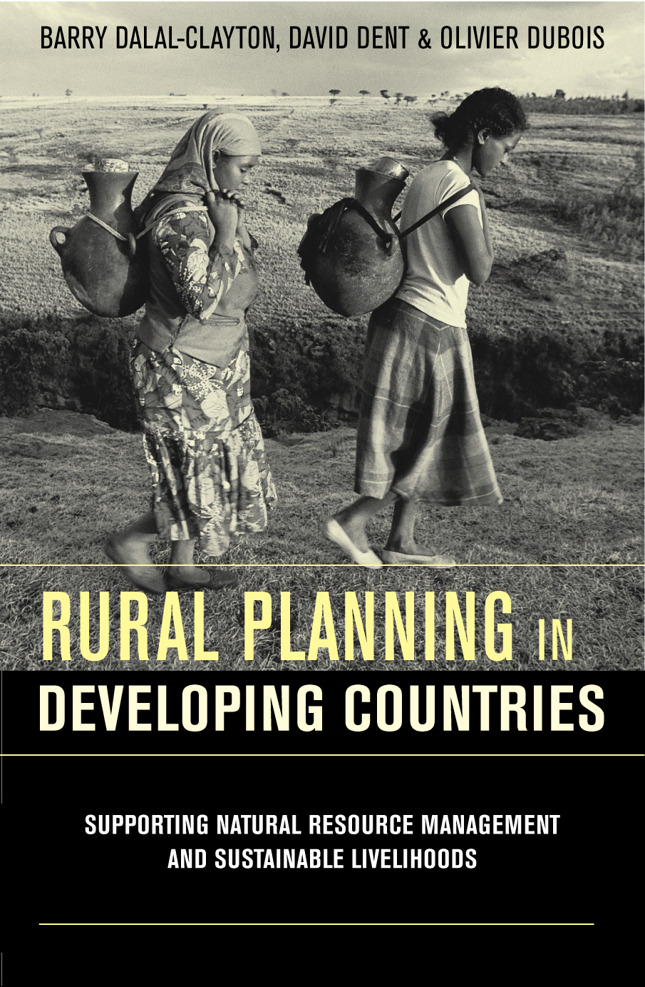
Coordinated study of international experience in rural planning and contribution to rural livelihoods for DFID, with detailed country case studies in Ghana, South Africa and Zimbabwe (1998-1999). Showed how participatory planning approaches can address cross-cut issues that influence the poverty-environment nexus.
-
Directed collaborative research on resource assessment methods and land use planning procedures (from national to village levels) (1992-93). Reports used to help frame agency and government planning guidelines (eg Tanzania, Sri Lanka, FAO, UNDP); also used as key university course sources. Updated in 2001 as "Knowledge of the Land" - a textbook for Oxford University Press.
